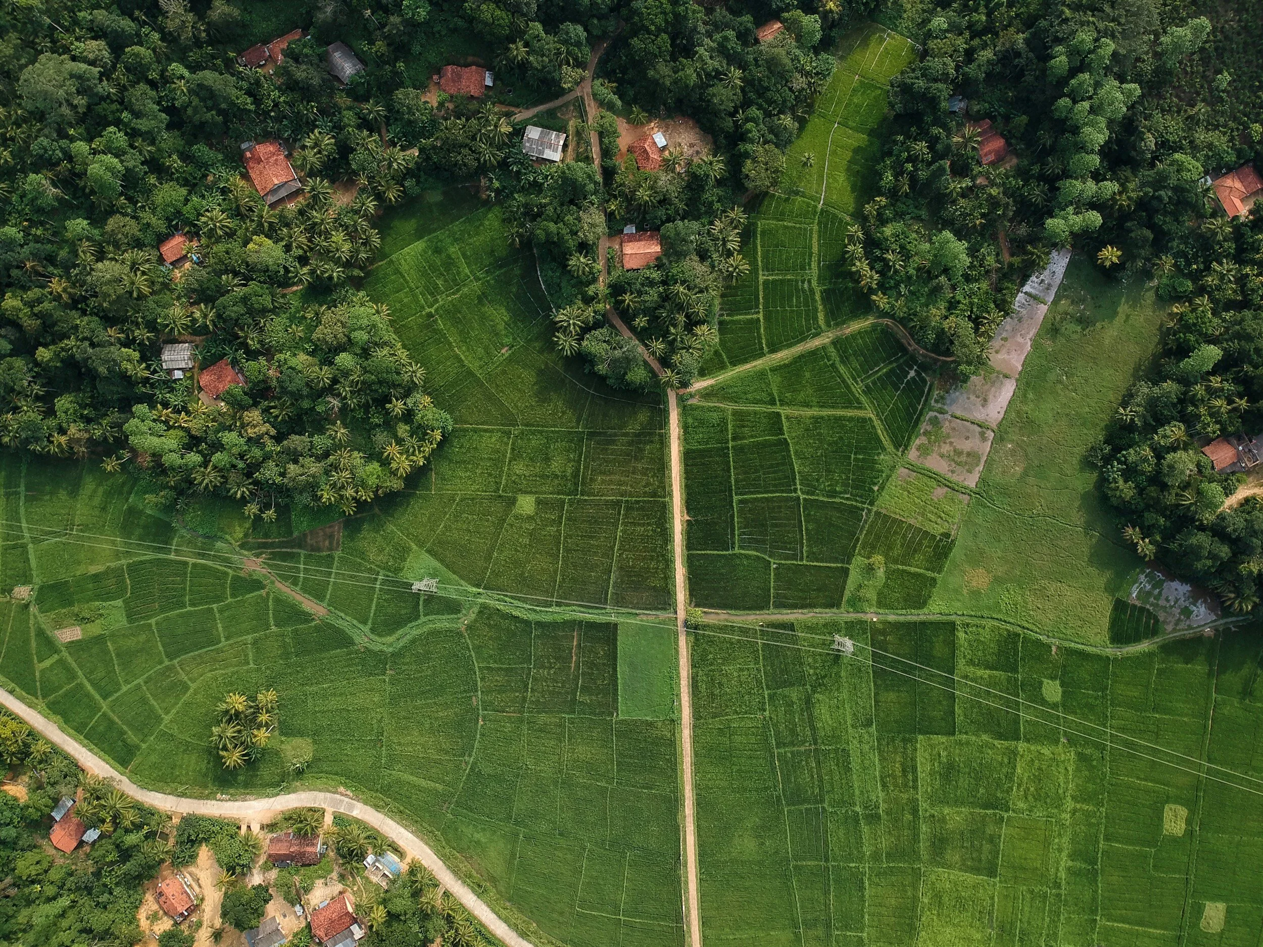
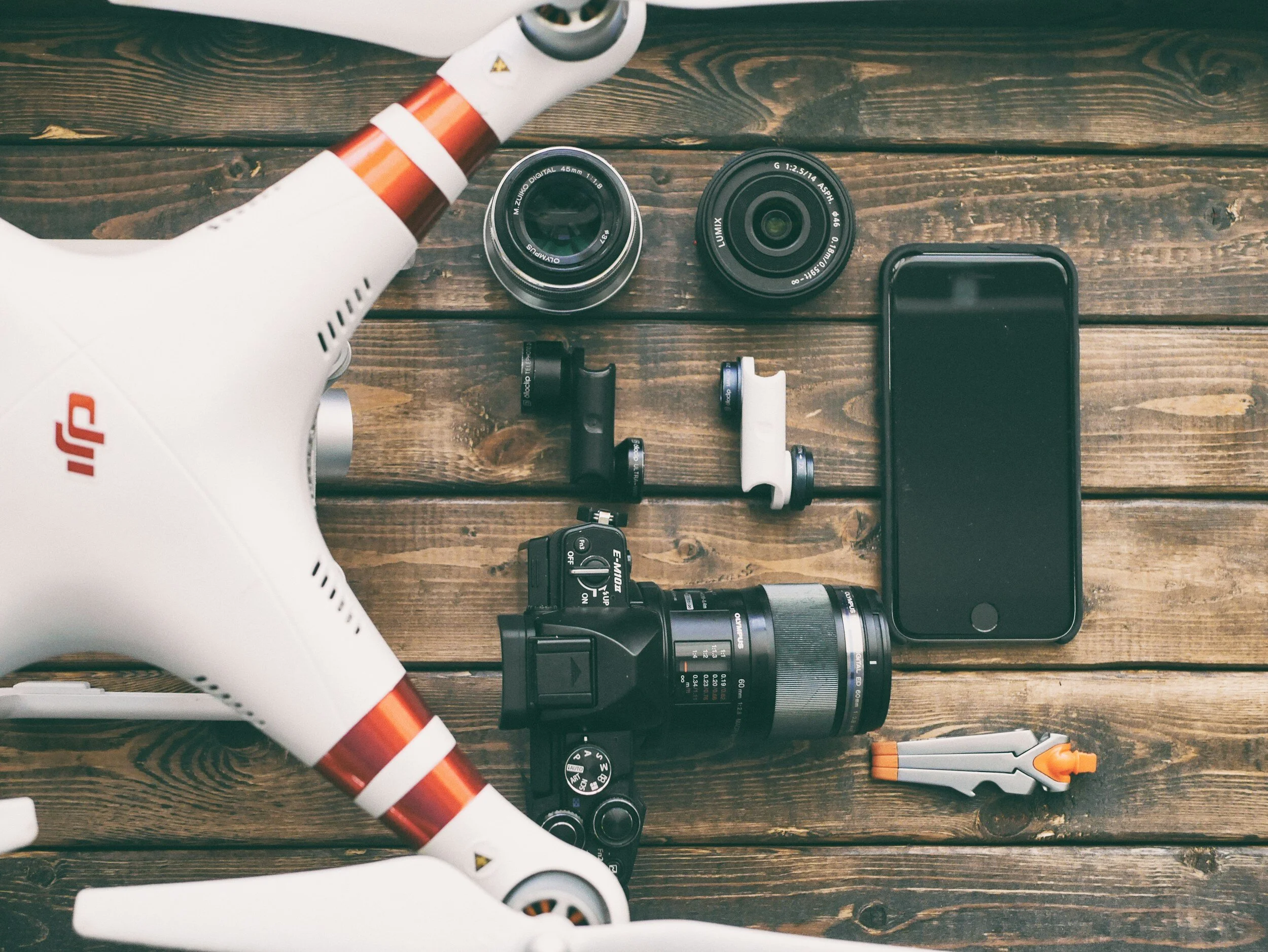
Drone Photogrammetry
Explore our collection of orthomosaic images – perfect for future reference on construction sites, envisioning property expansions and surveying topography.
Coming soon
Our inspection services will soon expand to cover buildings, power lines, wildlife migratory patterns, forestry, and farm vegetative health, ensuring a comprehensive analysis for various needs.
-
Basic E1: Variable Price (Includes specified flight paths with omni directional photo overlays to create a sparse point cloud. Build and package DEM and Orthomosaic photos for your surveying purposes.)
-
3D Model: Variable Price (Multi flight paths flown to create a tight stitched 3D model.)
Drone Photogrammetry E Options:
Check out our samples from
Drone Videography
Whether it's a family gathering or showcasing your property for sale, our skilled pilots will capture stunning aerial footage that will amaze you. Click Learn + below for more information.
Disclaimer:
Estenoch Developments Inc. adheres to all Nav Canada rules and regulations. If certain locations are restricted or designated as no-fly zones, alternative locations must be provided. Similarly, if permits are rejected for specific protocols, alternative arrangements must be made.
-
Basic E1: $250 (Elevate your experience with one hour of our professional services including flight time footage at your desired location, recorded and securely stored on a 64GB thumb drive for your safekeeping.)
Extension E2: $360 (Enhance your experience with an extended booking, now offering a total of one hour and thirty minutes of services including flight time footage at your desired location.)
-
Video Editing E1: $300+ (From personal videos to our curated collections, we handle every editing job with care. We'll remove imperfections and enhance lighting for a seamless finish. Let us piece together your adventures into unforgettable memories.)
Drone Videography E Options:
Check out our samples from